
Possible Project: Illustrative and Artistic Rendering of Map Data
- target group: Bachelor, Onderzoekstage, or Master
- input data: downloaded network of lines in a specified region from OpenStreetMap
- intended result: visualization of the street network
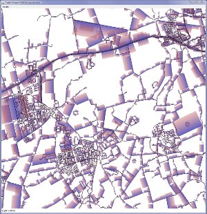
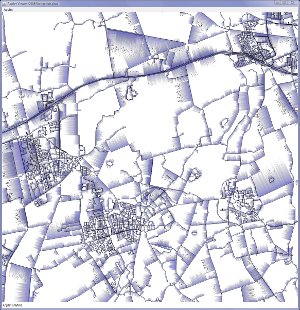
- inspired by the Substrate simulation, ported as a style to XScreenSaver:
- in an artistic style
- depicting data about the map/region
- possibly using satellite data
- possibly using other data sources (e.g., regions in OSM, density of other elements in OSM, etc.)
- possibility to use of increasing degrees of abstraction (with respect to curvedness, steet angles on the image, types of streets shown, type of data shown, etc.), so that an extreme result could be something similar to a Mondriaan image:

- inspired by the Substrate simulation, ported as a style to XScreenSaver:


Mondriaan—Broadway Boogie Woogie (map-derived):
Mondriaan—Composition in Brown and Gray:
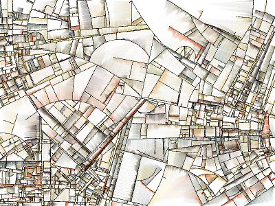
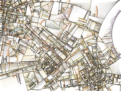
Another interesting visualization technique: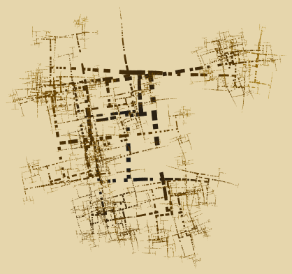
Examples of initial implementation: